BANKS

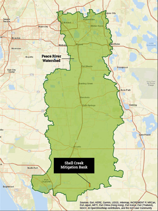
Shell Creek Mitigation Bank
569.80 Acres | Charlotte County
Project Details
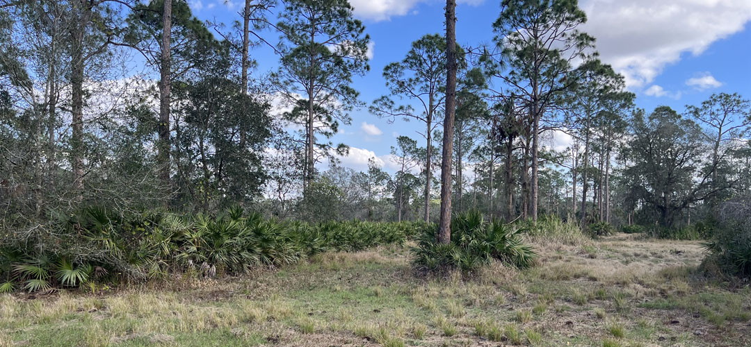
The Shell Creek Mitigation Bank is a 569.80-acre conservation area established to provide compensatory mitigation for wetland impacts located in the Peace River basin. The Bank consists of forested cypress domes and cypress slough wetlands at the lowest elevations, with adjacent forested wet pine flatwoods, and upland pine flatwood habitat in the highest areas. The Bank has been degraded by selective cypress and slash pine logging, exotic and cultivar species invasion, overabundance of hog and alligator due to commercial hunting, prolonged fire suppression, and hydrologic impacts due to constructed roads and ditches, resulting in significantly degraded wetland habitats. The restoration of the Bank will consist of cessation of silvicultural and commercial hunting activities; removal of invasive exotic species and nuisance species; filling and grading ditches, thinning trees and shrubs, herbaceous seeding, shrub planting, planting of slash pine, cypress and long leaf pine trees, and reintroduction of prescribed fire to restore all the wetland and upland buffer habitats to optimal condition.
The Shell Creek Mitigation Bank will have palustrine forested credits available approved by the U.S. Army Corps of Engineers (Corps). The Shell Creek Mitigation Bank will also have freshwater forested credits available approved by the Southwest Florida Water Management District (SWFWMD).
GreenSource’s Scope of Services
- Site Identification
- Due Diligence
- Permitting
- Construction and Restoration Supervision
- Habitat Management
- Species Monitoring
- Vegetation Monitoring
- Hydrologic Monitoring
- Soils Monitoring
- Agency Reporting

